High Sierra Trail
Jump to: Permit / Getting There / Map / Recommended Gear / Helpful Links / Comments

Description
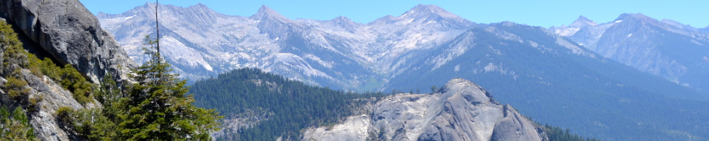
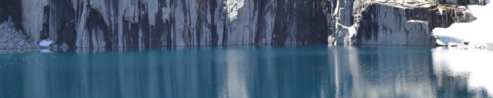
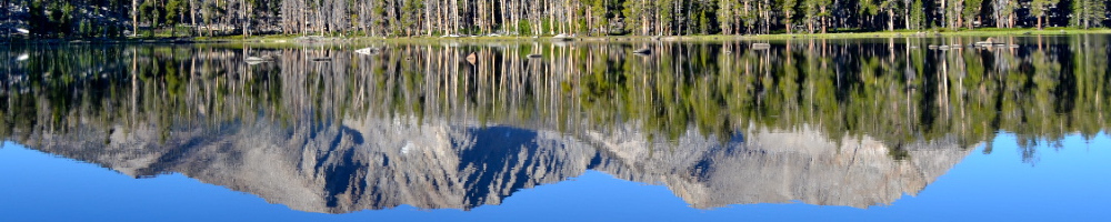
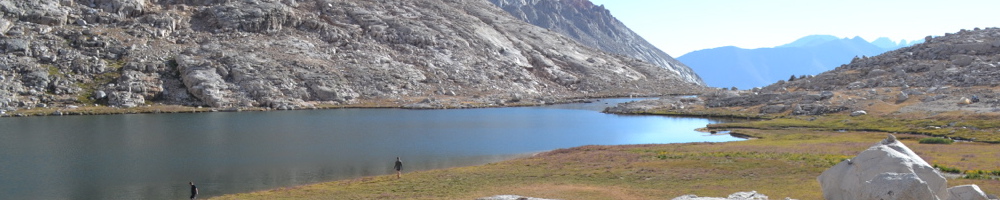
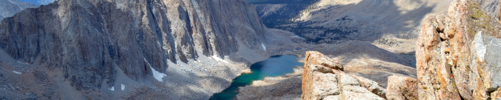
The High Sierra Trail (HST) spans 73 miles crossing the Sierras from west to east, starting at Crescent Meadow in Sequoia National Park. It crosses the great Western Divide, climbs the Kern Canyon, and summits Mt. Whitney before exiting at the Portal. It makes for a beautiful and scenic backpacking trip featuring stunning lakes, passes, forests, and the tallest summit in the lower 48 states. The views aren’t handed over without some amount of pain though, the trail starts around 7000 feet and includes several climbs and descents before the Mt. Whitney summit at 14505 feet.
We completed the HST in 5 days averaging 15 miles daily. At the time it was my longest ever backpacking trip so that was a good number of days to be out in the wilderness, although it really pushed my limits physically.
I felt really proud to reach the Mt. Whitney summit having completed the entire HST but then I started to hear other hikers talking about their own trips finishing the John Muir Trail! It sounded pretty crazy at the time, spending several weeks backpacking in the Sierras. But soon after completing the HST I planned a thru hike of the JMT as well. The HST was the perfect stepping stone for longer trips, but it certainly stands on its own as a fantastic journey.
>> Click here for my JMT trip summary pageItinerary
Click an itinerary day to read a detailed description of that day
Dates hiked: 7/26/12 to 7/30/12
Logistics
This trip was fairly easy to plan except for transportation! I loved the fact that this hike crosses the entire Sierras from west to east, but that also places the trailheads a 6 hour drive apart. To start planning your trip first consider a few things:
- Direction: I describe this hike as running west to east because it is substantially easier to get a permit from Sequoia National Park. The alternative is to secure a permit in the Mt. Whitney lottery, and that means the hardest part of the hike will be on your first day. Not to mention you’ll have to carry a used wag bag for the rest of the trip! Note that wag bag use is optional if you are not exiting at the Portal, however there are not a lot of cat hole options on Mt. Whitney.
- Mileage: our 15 mile/day average was physically demanding but I’m sure there are hikers that do a lot more. You could also take a week or more on the HST so it really comes down to your ability, available time, and how long you need to acclimate to elevation. Ideally this should be based this on backpacking experience at similar elevations and mileages. I included an extra day on our permit just in case.
- Season: June through September is the most popular time to hike in the Sierras although this will really depend on how heavy the snow pack is. Some other factors to consider are mosquitos and wildflowers (both present earlier in the season).
Permit
I have previously hiked on the HST twice as short weekend trips and had no trouble picking up a walk-in permit in Sequoia. If you are planning to do the entire HST I would recommend securing a permit in advance, and they become available on March 1st at midnight. See links below for the permit information and availability.
Starting at Mt. Whitney requires entry in the lottery process which has an approximately 40% success rate. The lottery closes on March 15.
Getting There
This is the hardest aspect of planning a HST thru hike, but fortunately we had some very generous friends in LA who were willing to help both drop us off in Sequoia and leave us a car at Mt. Whitney. Those may not be options for everyone so I’ve included some transportation details below. If you are somewhat local it might be easiest to leave a car at one end or try to convince a friend to drop you off.
Another option is to find a group to hike the opposite direction and trade keys!
Sequoia Trailhead
- Amtrak or Greyhound to Visalia
- Sequoia Shuttle from Visalia to the park
Mt. Whitney Trailhead
- Amtrak to eastern Sierras
- Eastern Sierra Transit from as far as Reno or Lancaster
Required Gear
The following is a list of gear necessary for the HST that may not be required on other trips.
- Bear Canister: strict requirement for the HST. There are a few bear boxes along the HST but none at Guitar Lake.
- Water Purification: a purification method is recommended due to the risk of Giardia in the Sierras. This can be in the form of tablets, filtration, or UV light.
- Rain Protection: due to the unpredictable weather in the Sierras it is recommended to carry a tent rainfly, backpack rainfly, and water resistant shells.
Recommended Reading
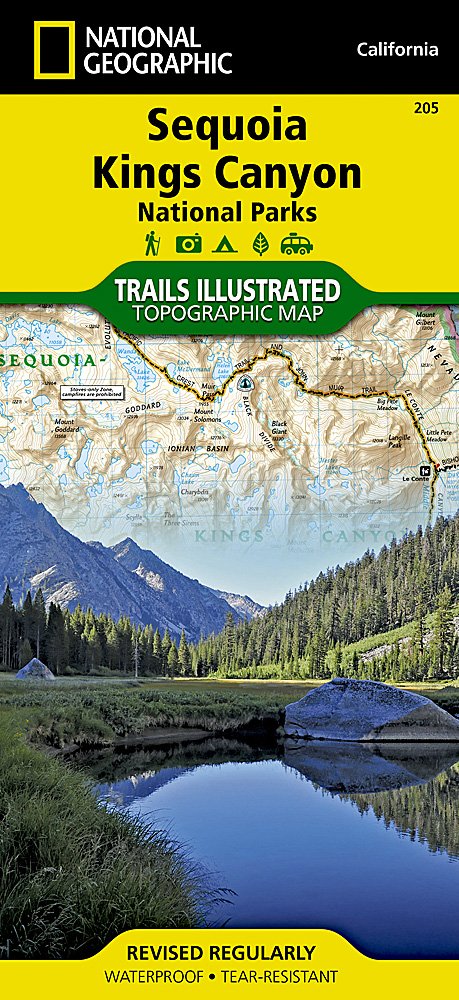
National Geographic Trail Map
Always carry a map! This folded map covers both Sequoia and Kings Canyon National Parks, including the entire High Sierra Trail through Mt. Whitney Portal.
Comments